How Pokémon Go players unwittingly trained military drones: "I was just playing"
How Pokémon Go players unwittingly trained military drones: "I was just playing"
For years, Pokémon Go players have been scanning their surroundings to earn extra points. Thanks to those billions of scans, an extremely accurate navigation system has now been developed.
Ismaele
Today I am providing my English translation of an article by Gerben Beutick, originally in Dutch and first published on trouw.nl on Friday 5th June 2026 and then translated into Italian on ComeDonChisciotte.org on Monday 22nd June 2026.
(All emphasis and footnotes mine).

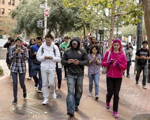
Floris De Hingh (aged 34) downloaded the Pokémon Go game on the very day it was released. It was the summer of 2016, and before long the whole of the Netherlands found itself wandering the streets with a smartphone until late in the evening, searching for Pokémon. Even years after the craze had died down, superfan De Hingh continued to search for the virtual creatures.
However, he could never have imagined that the images he took while playing would be used to train an Artificial Intelligence [AI] system which will now, amongst other things, help US military drones navigate. “I was just playing”, he says.
De Hingh was not the only one capturing images. Nearly 30 billion Pokémon Go scans, taken by hundreds of millions of users, are now owned by Niantic Spatial, a spin-off of the company that originally developed the game. Using those images, it has trained a 3D model that enables extremely precise navigation even without a GPS1 signal.
At the end of last year, Niantic Spatial and the US company Vantor announced that Vantor would be using the navigation system for drones and other military robots. Vantor is a software company specialising in spatial intelligence, including for defence purposes. The news of the collaboration received very little media attention.

The indirect contribution to the military
In response to questions from journalists at the daily newspaper Trouw, Vantor denies that it will use data from Pokémon Go. However, the company does not wish to specify whether this means that the model to be used in the military has not been designed on the basis of that data.
According to Jeroen van den Hoven, professor of ethics and technology at Delft University of Technology, this conclusion can be drawn. “Without the enormous number of scans carried out by all those players, the development of this system would never have happened so quickly”, he says. “Players have contributed indirectly, perhaps in a minor but nonetheless effective way, to military applications”.
According to Van den Hoven, it is indeed difficult to pinpoint exactly which parts of Niantic Spatial’s 3D model were trained using scans from Pokémon Go players. In his view, all AI models start with datasets that are then enriched with a great deal of additional data. The model learns to recognise patterns and builds a system in which the data takes on a new form and can no longer be traced back to its origin.
Players gave their voluntary consent
Niantic Spatial also does not clarify the precise role that Pokémon Go data plays in the model that Vantor will use. In response to previous questions from Trouw regarding another collaboration – with the delivery company Coco Robotics – a spokesperson stated that Pokémon Go scans were used to train an “initial version” of the model.
In that response, Niantic Spatial also emphasises that Pokémon Go players voluntarily accepted the terms and that the company operates ethically. “We are committed, together with all our clients and partners, to ensuring that Niantic Spatial’s products are used responsibly, with respect for human rights and ethical principles,” the company states.
When asked for further details about its collaboration with the defence sector company, Niantic Spatial declined to comment. “We have no further information to provide at this time”.
Against the war in Iran
“It’s a tragedy”, says De Hingh. “At first you think you’re just playing a game, and then, all of a sudden, your data could be used in a war.” The fact that Vantor is collaborating, among others, with the US military worries him. “I am firmly opposed to the war that Trump is waging against Iran”.
Van den Hoven: “People who thought they were just playing a game have clearly been taken for a ride. It is gradually becoming clear that companies do not necessarily use our data to genuinely improve our lives, for example by improving education. It’s all about making money. If they can sell a dataset or an AI model for a good price, they will do so”.
According to Van den Hoven, we must regard what happened with Pokémon Go as a “red flag”, a warning sign. The tech giants have greedily exploited society’s knowledge gap, the professor argues. “You can see this from the underhand way in which this data was collected”, he says. “Some people within the company may well have known for some time what future uses the data might have”.
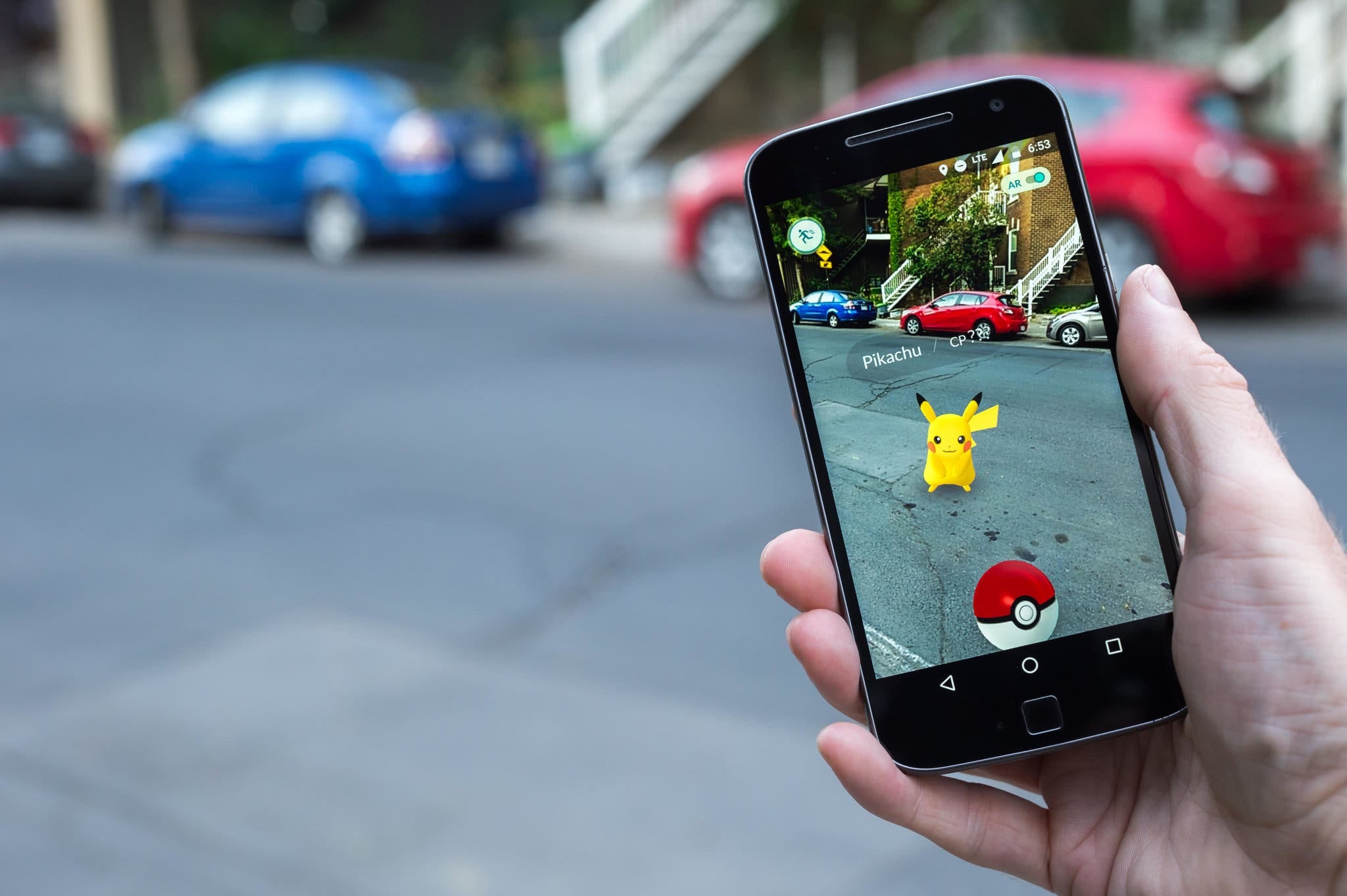
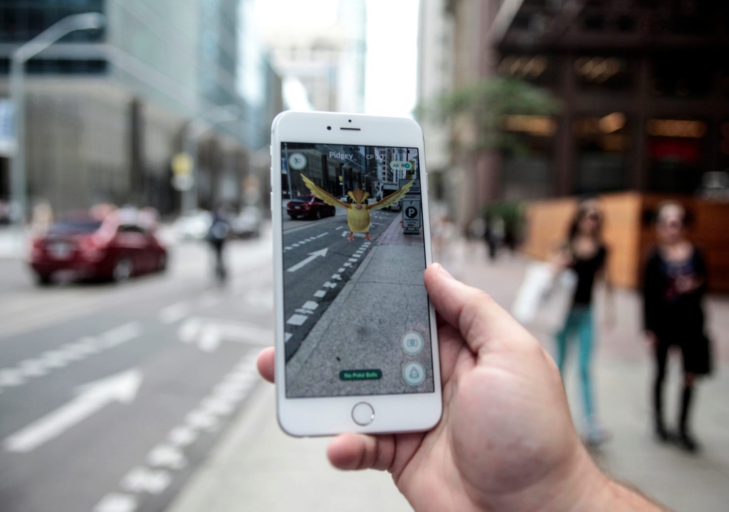
This relates in particular to the images that users have been able to take since 2021 in the game Pokémon Go. This is not a compulsory activity, and Niantic Spatial asks for separate consent to use the images. To earn extra rewards, players can carry out a “scan” by filming their surroundings with their smartphone. This scans all the buildings, streets and trees in a 360-degree view around them.
By giving your consent, you agree to additional terms and conditions. In doing so, you grant the company a “transferable and sub-licensable licence” for the scans, which means it can resell your images to third parties.
Lost drones
Furthermore, Niantic Spatial has trained its own navigation model based on these scans. It has processed the images using artificial intelligence to create a detailed 3D map that allows navigation without a GPS connection. In doing so, the company immediately becomes a leading player in a relatively unknown technology: VPS, or Visual Positioning System.
Thanks to VPS, it is possible to find your way around using a camera. Just two landmarks, each only a few pixels in size, are enough to determine your position. It is an ideal alternative to the more common GPS in places lacking a good satellite signal, on which GPS relies.
Vantor cites modern battlefields as an example of the sort of “GPS-deprived” locations for which VPS offers a solution. In the war between Russia and Ukraine, the jamming of satellite signals is a widely used strategy. As a result, many drones lose their bearings.
The defence firm aims to enable all kinds of products to navigate using the new system. From military drones to “vehicles, AR (Augmented Reality) glasses and other field equipment”, Vantor states in a press release.
AI models have long been weapons
This collaboration is not an isolated case. AI systems have long been used for military purposes. For example, the AI platform developed by the US company Palantir supports the Ukrainian army in identifying targets and making decisions regarding attacks. The same system was used by the Israeli army during the bombings in Gaza, in which many civilians were killed.
A similar AI model, developed by the US company Anthropic, has been deployed by the US military. According to the American media, that model played a role in the air strikes on Iran and in the abduction of the Venezuelan dictator Nicolás Maduro.
Van den Hoven does not rule out the use of VPS in a military context in all cases: “If the Ukrainians can win the just war against the aggressor Russia with this, it is a positive development”. But if the system were to fall into the wrong hands, he believes it would be extremely dangerous.
Privacy is at risk
De Hingh had never given any thought to the possible applications of his scans. For a long time, he thought: “They can have my data; I’ve got nothing to hide anyway”.
And this is a very common attitude, as Iris Muis, an expert in data ethics at the University of Utrecht’s Data School, is well aware.
In her view, as a user, it is impossible to imagine how one’s data might be used in the future.
“Who knows, perhaps in five years’ time there will be a technological application with consequences that are absolutely unacceptable”.
According to Muis, the privacy of players and other members of the public could also be at risk. Hingh, in fact, has also carried out scans inside his own flat. Niantic Spatial appears to be interested in those images as well. Tory Smith, director of product management at Niantic Spatial, suggests in an interview on the Vantor website that he would like to collect more images of this kind from interiors.
Autonomous delivery trolleys
Incidentally, the VPS is not only suitable for defence purposes. In March, Niantic Spatial announced a partnership with Coco Robotics. The American company intends to use the VPS for its delivery robots. Autonomous delivery trolleys are already delivering food to homes in US cities and in the Finnish capital, Helsinki. Thanks to the VPS, the Coco robot, equipped with four cameras, is able to navigate with centimetre-level precision, according to Niantic Spatial.
The company is by no means the only one to view consumers with cameras as potential sources for collecting geographical data. For example, Meta’s smart glasses continuously scan the user’s surroundings, Apple’s AR glasses create 3D maps of indoor spaces, and Waymo’s self-driving cars reconstruct detailed models of urban roads.
“The game must remain a game”
According to Van den Hoven, it is of paramount importance that the European Commission protects users’ data by establishing clear rules for these large companies. But he believes it is even more important that we do not become dependent on other countries’ navigation systems.
“If, for example, Elon Musk were to switch off his Starlink satellites, everyone would be lost,” he says. “It is important that Europe develops a functional equivalent of that VPS system”.
British game designer Adrian Hon is now advising Pokémon Go players to stop scanning. “Perhaps it would even be better to switch to other games; preferably smaller ones, because those don’t readily sell your data”. [What about playing good old games like football, volleyball, basketball, rugby, chess, go, card games, etc.? No data to sell, more social interaction and they are more fun!]
De Hingh stopped playing over a year ago. Not because of the data he had to provide, but because he had enough of the updates.
“New missions and new Pokémon kept coming”.
For De Hingh, the news was a “real eye-opener”. “We need to set a limit and prevent companies from collecting and reselling this data and these scans as they please,” he says. “A game must remain a game”.
Source: GeoPolitiQ


Comments
Post a Comment